Repeated listening, day and night.
Listening stations can stay in place through the hours and seasons agreed for your project. That gives you repeated observations at the same locations, including the times a field visit cannot cover.
Still Habitat
Start here / Catbird in plain language
An Ear is a small outdoor listening station. It listens for ecological sound at an agreed location and processes recordings locally. Catbird is the cloud-based app that brings together what was heard, where the system listened, and when a report arrived, so you can check the project from anywhere you have internet access.
Ears send compact reports by long-range radio to one connected station, called a Perch. That means remote listening points do not each need a Wi-Fi or cellular plan. The same radio path can carry supported tuning and calibration changes back to an Ear, reducing trips to collect SD cards or adjust each station by hand. We test the route on your land before promising coverage.
Automated identifications are suggestions, not confirmed wildlife records. We agree on the question, listening plan, reporting, and any additional analysis before the work begins.
How the network helps
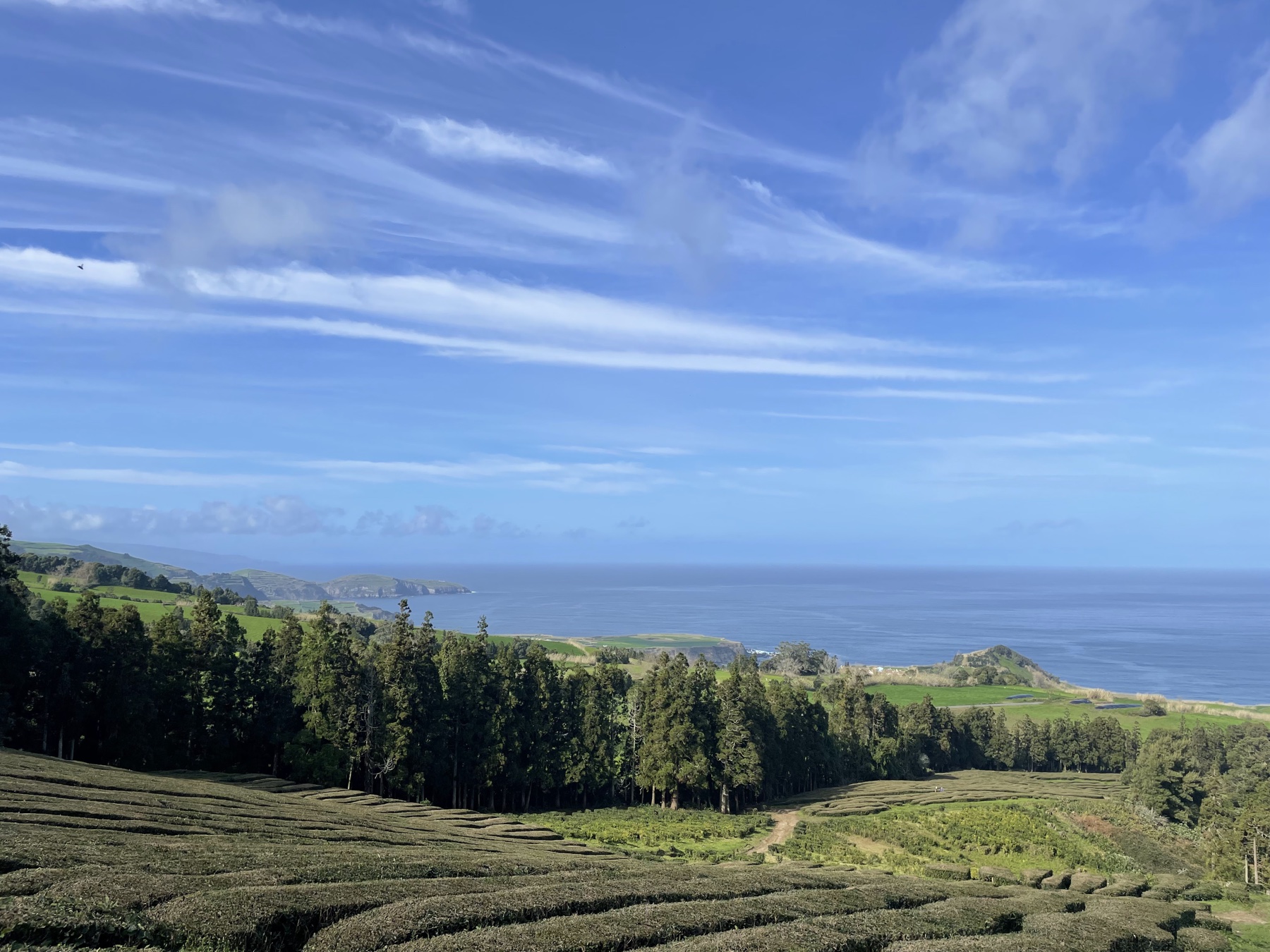
Put listening stations where the question is, not just where Wi-Fi reaches. Ears can pass compact reports through nearby relay Ears until they reach one connected Perch, which brings the record into Catbird. Terrain, vegetation, and placement affect every route, so we test the radio path on your land.
Listening stations can stay in place through the hours and seasons agreed for your project. That gives you repeated observations at the same locations, including the times a field visit cannot cover.
When the system can deliver a record, it appears in Catbird. Power, radio range, recording schedules, and the hub’s connection affect how current the view is. We check the equipment and explain gaps in the record.
Compare a hedgerow with open pasture, or a restored reach with a similar untreated reach. A listening station does not pinpoint an animal or prove a result on its own. Placement, repeat listening, and review make the comparison useful.
Along the creek
Bird listening shows activity along the banks. Water and air-quality sensors can use the same mesh to report changes across the site. In this example, herd movement near a dry crossing is followed by cloudy water downstream, a particulate spike, and possible mammal rustling. Repeating the same measurements helps separate a passing event from a longer change.
What goes on your land
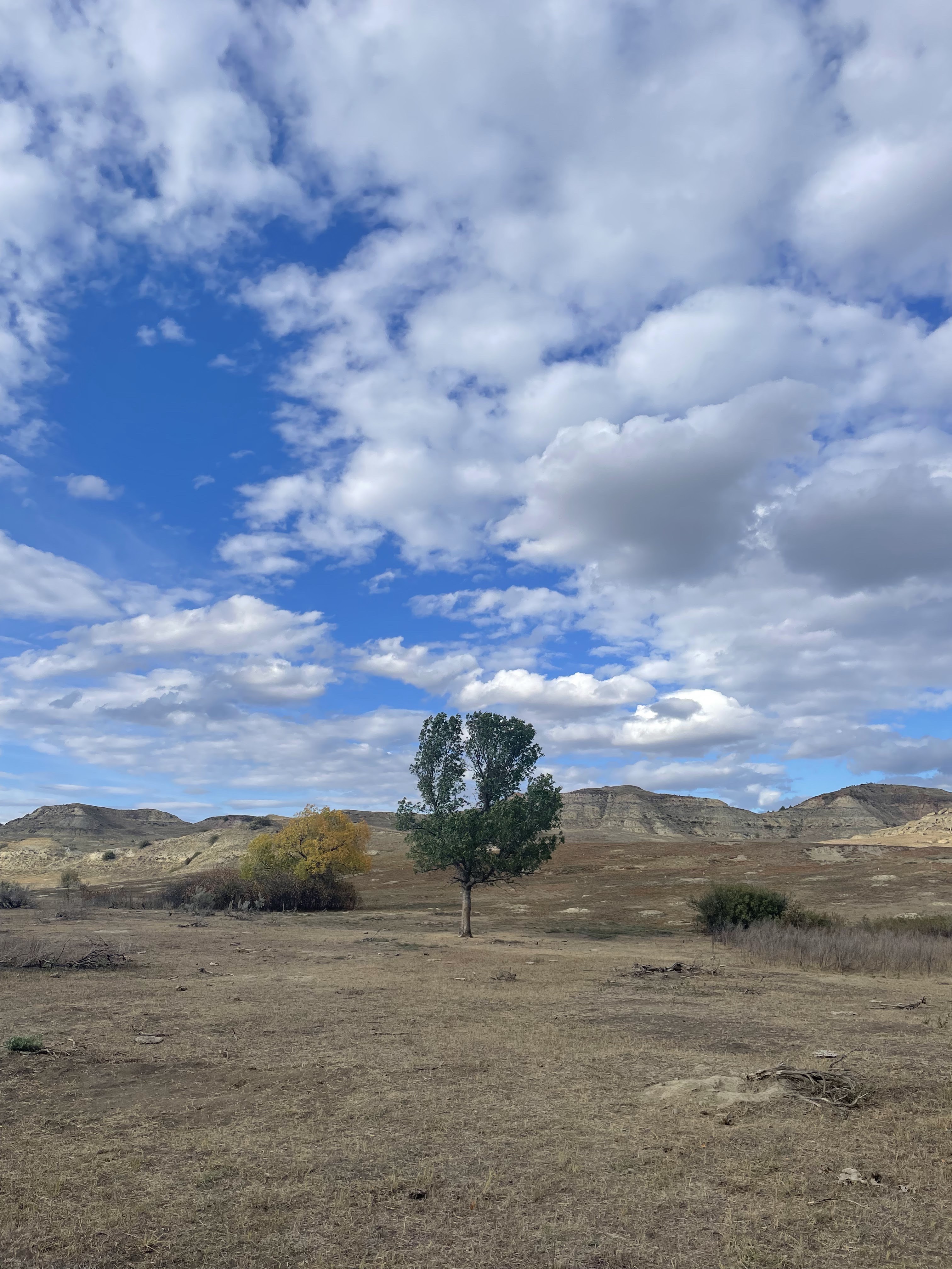
We choose each listening location with the people who know the site. The field setup is small, labeled, and planned around access, vegetation, weather, wildlife, and daily land use.
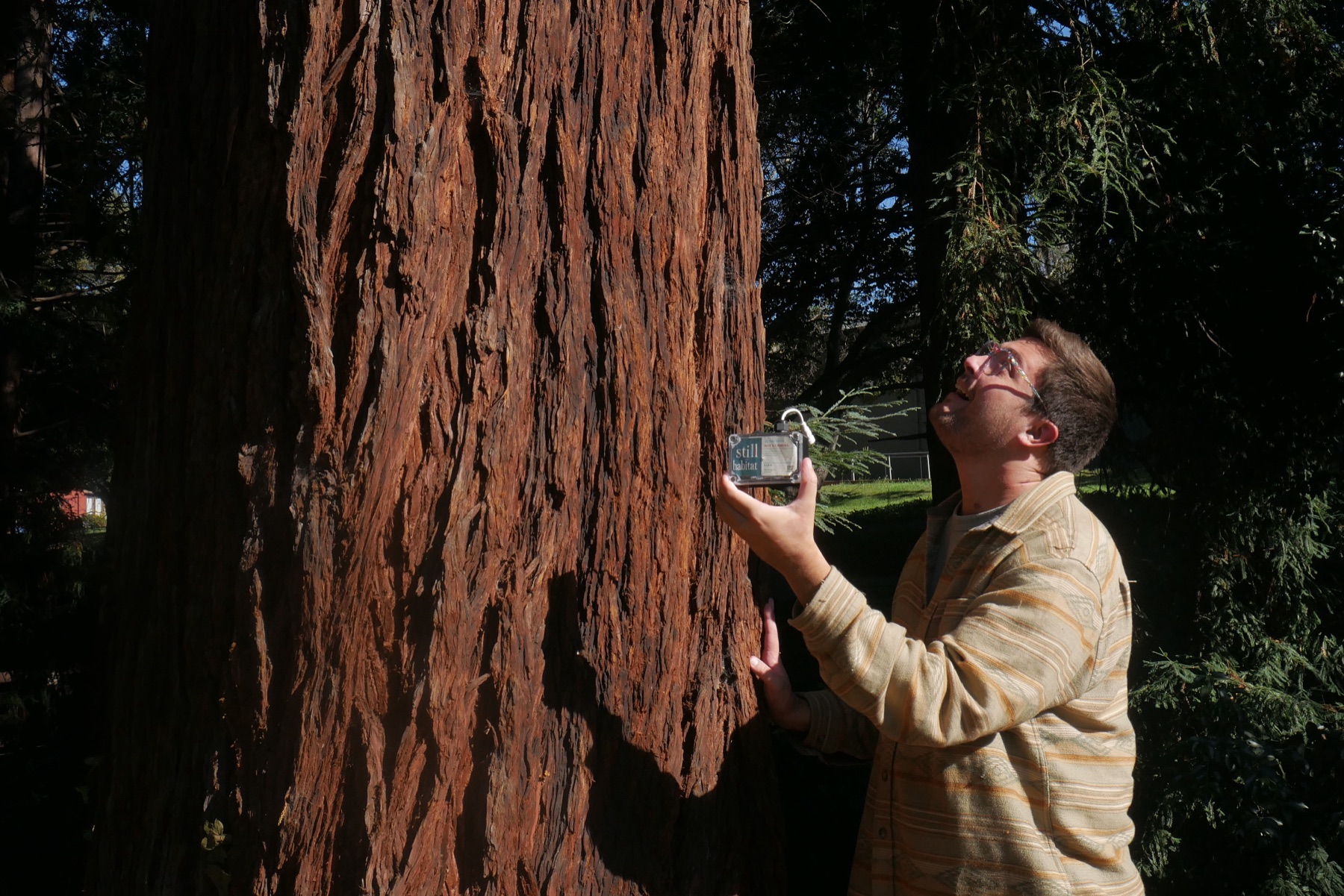
We identify the habitats to compare and agree where equipment can go. Access, shade, wind, wildlife, and the work you have planned all influence placement.
We arrange power, mount and label the Ears, and check microphones, storage, and radio links. Only one Perch across the mesh needs internet access.
We walk you through Catbird and agree on maintenance, reporting, and how your team will use the results.
Alongside maps, imagery, and field knowledge
Satellite imagery can show vegetation patterns across a landscape. Microphones add observations from particular places and hours, including times nobody is there. Neither tells the whole story. Use them with rainfall, management records, and your own surveys.
Mark the planting area or grazing change on a map. Place Ears there and at a comparable area you will leave unchanged. Record before the work begins, and retain the dates, hours, and equipment gaps.
Log when fencing, planting, or grazing changes happen. Follow incoming acoustic detections while reviewing vegetation imagery and weather alongside them. Ask whether a change deserves a field visit, not whether one detection proves success.
Return to the same locations, hours, and season. Compare treated and untreated areas with your adviser. This is a practical platform for landscape experiments, with a record that can also show no clear change.
GIS, satellite imagery, weather analysis, and additional sensor integrations are scoped with each project. We use them alongside the acoustic record; Catbird does not currently provide an automatic satellite-analysis service.
Why this approach
A useful monitoring record takes more than a sensor. Someone has to choose the locations, keep the equipment working, account for missing data, and connect the results to the question.
Less work for your crew
Still Habitat handles the hardware, Catbird software, and field setup. You have a direct line to the team for placement, a failed microphone, or making sense of an unexpected gap.
Reach useful listening spots
Solar power, local storage, and radio links let us plan around the creek, pasture, and hedgerow. We test the route on your land before promising online coverage.
A record worth returning to
Locations, dates, field notes, and equipment gaps make the record useful for future visits and discussions with your adviser. Reports and data handoff are scoped around the decision you need to make.
Privacy / what leaves your land
Ears process recordings on the landowner’s property. Raw audio stays on local storage. Only compact detection records cross the radio mesh to Catbird.
The landowner agrees how long recordings are kept and who may access them.
Audio identified as human speech is deleted on the Ear and is not used. Only ecological audio continues into monitoring analysis and reporting.
The landowner decides who can see the private record and what, if anything, is shared publicly.
We work alongside the advisers and field teams you already trust. Specialist surveys and management decisions stay with the people qualified to make them.
Cost + logistics
Current offer: a free one-Ear Listening Sample, limited to suitable California sites in 2026. Longer projects combine equipment with a written scope for installation, Catbird software, support, and reporting.
Current Ear pricing
$250 per Ear
Standalone Ear with solarThe default field setup for a listening location without an existing power source.
$200 per Ear
Ear without solarFor a location where you already have a suitable continuous power source.
A connected multi-Ear setup also needs a Perch, the mesh’s Wi-Fi or cellular gateway. Perch hardware, specialized mounting, power, and additional sensors are quoted for the site.
Project installation, software + support
For a straightforward starter installation, budget roughly $750 for site design and setup. Catbird browser access, maintenance, travel, analysis, and reports are included only when listed in your written scope.
These are current planning figures, not a fixed package or retail checkout. Your written proposal names the equipment, installation, report handoff, and any ongoing software and support charges.
Planning a monitoring layout
We choose stations around the places you need to compare, then test the listening locations and radio paths. A microphone samples its surroundings; a radio link carries the report.
| Example layout | What it helps compare | How it is planned |
|---|---|---|
| One listening location | One habitat or a first listening week | Place one Ear at the question, then confirm suitable power and access. |
| Comparison across habitats | Two or more named places, such as pasture, hedgerow, or creek | Choose comparable locations and test the radio paths on site. |
| Larger coordinated study | Several habitats, management areas, or restoration reaches | Design station count, overlap, relay paths, support, and reporting for the property. |
Listening area and radio reach vary with the species, sound level, terrain, vegetation, wind, placement, and overlap. The final layout is designed and tested on site.
For one coordinated mesh, 6–11 Ears receive 10% off Ear hardware and 12 or more receive 15% off Ear hardware. The Perch, installation, travel, specialized sensors, software, and reporting remain scoped for the site.
In one field test, Ear-to-Ear LoRa links reached up to 750 meters. That result is a planning reference, not a property-wide promise. Terrain, vegetation, antenna placement, relay paths, and power conditions can change performance, so we test the actual routes before relying on them.
Your main question, approximate acreage, a map or description of the areas of interest, access arrangements, and any upcoming grazing or restoration work. We’ll also ask where power and an internet connection are available, and who should join the site walk.
The range guide is a starting estimate, not a fixed acreage formula. We choose the number from the places and habitats you want to compare, then check acoustic overlap and the radio path. A week is a first look. Seasonal change or a management question usually needs a longer recording plan and comparable follow-up periods.
Jack installs and commissions the setup. The proposal spells out equipment ownership or loan terms, check-ins, maintenance visits, travel, and the reports or exports included. Ongoing care and interpretation are separately agreed services.
Yes. Only one Perch across the mesh needs Wi-Fi or cellular access. Ears and compatible remote sensors use radio links instead of needing their own internet connections. We test terrain, distance, power, and radio paths on site. Local collection can continue through internet gaps where configured; remote viewing resumes when records reach the connected Perch.
Yes. We can scope maps, detection files, and a plain-language report for your adviser or restoration team. Formal species surveys, regulatory conclusions, and independent confirmation require the appropriate specialist and methods.
A practical first step
Tell us about the land you care for, the question, and who would guide ecological interpretation. We welcome monitoring projects and conservation partnerships. At suitable California sites in 2026, we can place one Ear for seven days and prepare a starter bioacoustic report.
The Listening Sample is free and limited to California in 2026: one straightforward placement, a starter report, and a results conversation. Outside California, tell us about your location and local team so we can discuss a separately scoped project or collaboration.
Email us at [email protected]